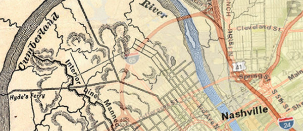
Vanderbilt University will celebrate 2019 GIS Day Nov. 13 with the theme “Mapping Tennessee from the Civil War to the Present.” The day-long event features hands-on technology workshops followed by two sessions with experts on geographic information system (GIS) technology.
The first session brings together local experts to discuss the challenges and successes of using GIS in Civil War mapping projects. The second panel, featuring members from industry and local government, focuses on professionals that currently use GIS in Tennessee.
Many years ago, consumer advocate Ralph Nader presented an idea to Esri Founder and President Jack Dangermond: Dedicate one day to show how geographic intelligence touches everyone. That led to the establishment of GIS Day, which was first observed in 1999. The explosion of geospatial technology since then has expanded the idea into a global event that demonstrates how far GIS extends into people’s lives and has become a forum for users to showcase their unique GIS accomplishments.
Vanderbilt GIS Day is co-sponsored by the Jean and Alexander Heard Libraries, the libraries’ Digital Scholarship and Communications Office, Army ROTC and the Center for Digital Humanities.
Click here for more information. Pre-registration is required.