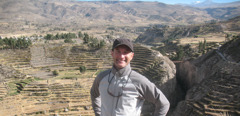
Steven Wernke, associate professor of anthropology and director of Vanderbilt’s Spatial Analysis Research Laboratory (SARL), has received a $150,000 digital extension grant from the American Council of Learned Societies to develop a digital platform that promises to greatly expand our understanding of Andean culture. Wernke developed a prototype of the project with a National Endowment for the Humanities startup grant, as well as support from the Vanderbilt Center for Digital Humanities and the Center for Advanced Spatial Technologies at the University of Arkansas. Parker VanValkenburgh, an anthropologist at Brown University, is the project’s co-director.
The Geospatial Platform for Andean Culture, History and Archaeology (GeoPACHA) will collate and connect satellite imagery from a variety of sources, as well as photos from historic aerial surveys, to build a detailed inventory of archaeological remains in the Andes—including many that have not been discovered yet.
Archaeology is an inherently piecemeal endeavor, Wernke said. “Excavation is a very slow and small-scale process, and even surface surveys are limited in area and can take years. With this collaborative platform for surveying high-resolution satellite imagery, we can achieve systematic coverage at an inter-regional scale—the scale of large empires like that of the Inkas—for the first time.”
Once the satellite imagery is collected, the next step in the project is a student-driven crowdsourcing effort to locate thousands of archaeological sites over nearly 150,000 square kilometers. Using a browser-based tool, students will directly participate in a “virtual archaeological survey,” working with regional experts from the United States, Canada, Peru and Argentina to visually scan the images from the areas they know best. “This is a brute-force approach for imagery survey, but it’s currently the most accurate method available,” Wernke said.
But hopefully not for long. The third stage of the project is to use these manually-identified data sets as training data for a machine-learning algorithm that will be able to identify sites automatically over even larger areas.
Wernke said this project will provide immersive learning and research opportunities for students, and connects to a number of Trans-Institutional Programs, including the Vanderbilt Initiative for Interdisciplinary Geospatial Research (VIIGR), the Digital Cultural Heritage Research Cluster, the VUSAT Initiative, and Data Science Visions.
“Most directly, through our work with Amrutur Anilkumar and our VUSAT courses, Vanderbilt students are developing novel remote sensing techniques for detecting features and sites, and we are collaborating with Andreas Berlind and colleagues in the Data Science Visions TIPs to develop computer vision and neural network approaches to automate these techniques,” he said.
Wernke sees transformational potential for GeoPACHA, as it will enable archaeologists to move past traditional piecemeal approaches and toward a view of inter-regional scale networks of interaction in the Andes, while serving as a repository for archaeological settlement pattern data. The data for this project will be housed in SARL, and he aims to start the virtual survey in 2019 and 2020.